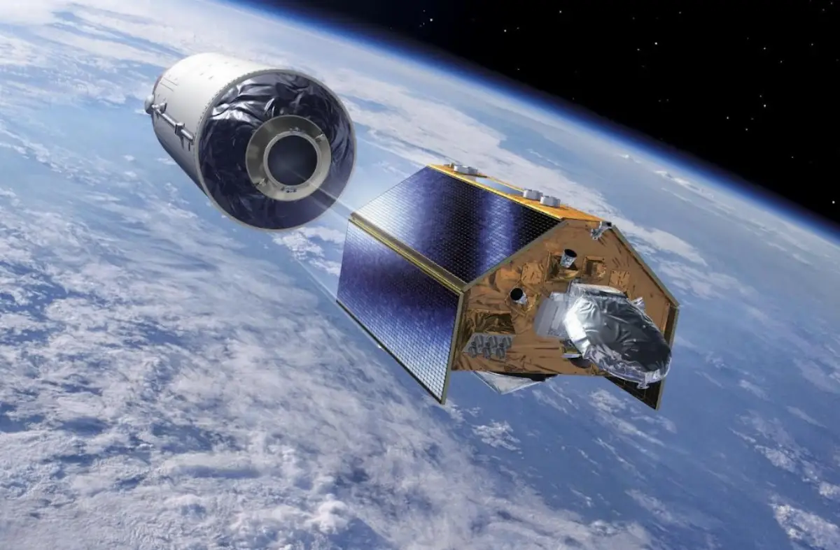
TAS: EU’s Copernicus Sentinel-6B oceanography satellite launched
It will supply vital radar data to monitor sea level rise and protect coastal communities - VIDEO

The Copernicus Sentinel-6B Earth-observation satellite has successfully been launched from the US Vandenberg Space Force Base (VSFB), California, by a Falcon 9 vehicle operated by SpaceX.
Thales Alenia Space (TAS), the joint-venture between Thales (67%) and Leonardo (33%), supplied the Poseidon-4 radar altimeter and the S-band TT&C1 transponders for Sentinel-6B, built by Airbus Defence and Space as prime contractor for the European Space Agency (ESA). The Sentinel-6 mission is part of Copernicus, the Earth-observation component of the European Union’s Space Programme, and the result of a unique collaboration between the European Commission, ESA, Eumetsat, NASA and NOAA, with support from the French space agency CNES.
For one year, Sentinel-6B will orbit in tandem with Sentinel-6 Michael Freilich, launched in November 2020, to calibrate the two missions before taking over from its predecessor. This gold-standard radar altimetry mission will ensure continuity of sea level data through to at least 2030. With 10% of the world’s population living less than 10 meters above sea level in coastal communities, sea level rise is one of the main concerns relating to Earth’s changing climate. The global level of oceans is currently rising at an average rate of 3.3 millimeters a year, a rise that has accelerated in recent years, potentially spelling dramatic consequences for these populations.
Like its twin Sentinel-6 Michael Freilich, Sentinel-6B is carrying the Poseidon-4 altimeter developed by Thales Alenia Space. This highly precise radar altimetry technology measures ocean topography every 10 days with sub-centimeter accuracy.
Ocean topography is a critical indicator in surveying climate change as well as ocean dynamics, currents, wave height, and surface wind speed. Precise and continuous monitoring of sea level is crucial to acquire reliable data informing effective climate policies for governments and institutions, and to protect the millions of people under threat from sea level rise. Such data is also invaluable for emergency responders in the event of a disaster, and for departments in charge of urban planning, building safety, and levee management.
With a launch mass of around 1.2 metric tons, Sentinel-6B will operate in low Earth orbit at an altitude of 1,336 km and has a design life of 7 years.
Below, the video on the launch:
AVIONEWS - World Aeronautical Press Agency